Map & Compass: orienting the map using a compass
A short video from out YouTube channel that shows how to orientate a map using a compass. Although this is done in a classroom, it can also be done when out on the hills, moors and mountains.
A short video from out YouTube channel that shows how to orientate a map using a compass. Although this is done in a classroom, it can also be done when out on the hills, moors and mountains.
A short video from out YouTube channel that shows how to estimate the time of legs when planning routes- a key navigation skill!
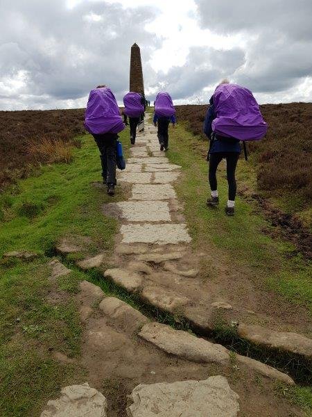
With the North York Moors offering gentle strolls, day-long loop routes and multi-day long distance paths, we’re absolutely thrilled to be recognised as being Walking Friendly by the North York Moors National Park! On our door-step we have open moorland, sea cliffs, dales and forests to explore! I thought I’d take the time to answer…
A short video from out YouTube channel that shows how to measure distances on a map- something needed when planning routes.

During last week’s Home Educators’ Forest School session we made a couple of bannocks; bannock sounds as if it has a Scottish heritage- indeed, a quick piece of research suggests that the word itself has a translation of morsel in Gaelic. Without the time for detailed research I’ll leave it at that… Safe to say, bannock is something…
A short video from out YouTube channel that shows how to take a grid bearing (a bearing on the map…), and then convert it to a magnetic bearing.
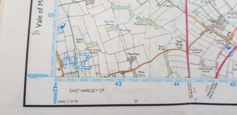
I was recently working with a group on a bleak hill side, it was raining and blowing, we were focusing on pacings, bearings, tick features and some some precise navigation in open country. During the debrief, one of the students said that they need more practice on grid references. Grid references! It struck me that…